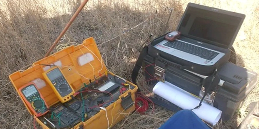
When you're dealing with a site in New York, the subsurface is rarely as straightforward as a regional geology map suggests. After working across Manhattan schist, Queens' buried stream channels, and the deep artificial fill of Brooklyn's waterfront, we've learned that a clean geotechnical picture demands methods that can see through the noise. Electrical resistivity, and specifically vertical electrical sounding (VES), cuts through that complexity by mapping how the ground conducts current—revealing clay lenses, groundwater pockets, and the true depth to bedrock without turning your site into Swiss cheese. Given the city's density of legacy infrastructure, from forgotten bulkheads to abandoned transit tunnels, getting a continuous profile along a survey line often flags anomalies that a grid of borings would miss entirely. Our team regularly deploys resistivity arrays in alleyways and active lots where heavy rigs can't go, and we pair the data with seismic refraction when the contrast between fill and natural ground is subtler than expected.
In New York's urban environment, electrical resistivity doesn't just map geology—it reveals the hidden footprint of 400 years of human activity beneath the pavement.